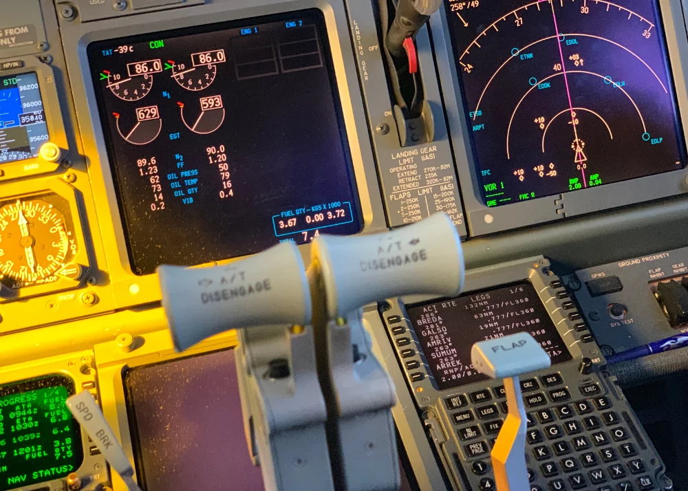
Giant airplanes like airliners and military transport aircraft use sophisticated, onboard methods to fly from Point A to Point B. Today, they usually use GPS (Global Positioning System) and/or a combination of other methods using lasers, gyroscopes, and other sophisticated stuff.
Interestingly, a few years ago, the military deliberately downgraded the GPS signals the USA’s satellites put out. In this way, the thinking went, the “little people” like those of us with GPS units in our cars and, for the lucky ones, in their airplanes, did not have information that was too-too accurate. They finally came around and we are enjoying extremely-precise guidance from GPS these days.
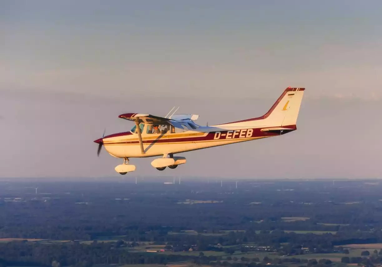
Still, most “small planes” in the general aviation fleet (non-airline, non-military) do not have built-in GPS. That’s because our general aviation fleet includes so many “small planes” that are many years old. These birds were equipped originally with their instrumentation before GPS became available, and most have not been upgraded to more modern instruments.
In this article we will also not be talking about radar. Radar can help navigation with great precision and power, but, outside the military with its AWACS and such sophisticated equipment for navigation guidance, radar depends typically on a ground-based, human operator to make the system work.
In other words, the approach in the present blog is to consider small-plane navigation that does not rely on people outside the airplane to help figure out where one is going. The methods discussed here can be done with one lone pilot equipped with training and intelligence.
Although many pilots of the older airplanes bring GPS-capable laptops or machines like iPads with advanced aviation software into the cockpit, not all small planes have this enhancement. Also, most of these add-on pieces of equipment are not necessarily legal for navigation, particularly for instrument pilots flying under IFR (Instrument Flight Rules).Certainly, some pilots of older personal aircraft have taken the additional step of purchasing and having installed aftermarket avionics, and in this way, they can take full advantage of GPS technology.
But what about the large numbers that don’t have this luxury? You also should know that there are lots of pilots who do not want the more advanced avionics that are out there. They are happy – even proud – to fly with their older instruments (often whimsically called “steam gauges”).
So this article will essentially ignore using GPS and radar for navigation, and tell you about the three other techniques pilots in small airplanes can use to be able to find their way in the sky, whether they can see the ground or not. These three methods, from the roughest to the most sophisticated, are pilotage, dead reckoning, and radio navigation. The latter is often combined into one word, radio navigation.
Pilotage
The way pilots found their way around in the very old days of aviation, when there were no instruments to help them, was by looking down onto the ground and recognizing where they were and where they were going.
If you did almost all of your flying where you lived, looking down you can probably recognize the main street, maybe a lake that’s a couple of miles off in one direction, railroad tracks, billboards, major geographical features like hills or mountains, businesses like mills or refineries, airports or grass strips used for taking off and landing, or other things easily-identifiable from the sky. Pilotage in its basic state is flying by looking at and recognizing these ground-based things and finding your way around in that way.
Basic charts can also be used for pilotage. A chart can show you where powerlines are, where bodies of water are strung, where mountains are, and so forth. So this very primitive method of finding one’s way from A to B can still be used and is kind of fun. Unless, of course, one gets lost! At that point, the better chart-readers have a distinct advantage.
Dead Reckoning
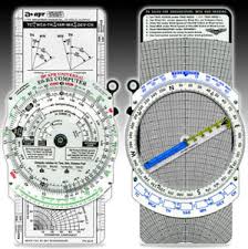
Dead reckoning, which has been used for sailing ships as well as for aircraft, is much more precise than pilotage. This process involves equipment and measurement using a compass, charts, and mechanical instruments like aviation’s “E6B” or the protractor. Also, rarely-used these days but still a major part of the history of dead reckoning is the sextant. This very old instrument is used essentially-exclusively in celestial navigation (using the stars to determine locations and distances).
Here’s a bit of dead reckoning trivia: Some uses of the term specifically exclude astronomical observations. The implication is that in some circles, using a sextant for dead reckoning is anathema!
When a pilot first learns to fly, he or she must learn to plot courses. This plotting work is basically using dead reckoning to determine the course to fly. That course may have several twists and turns, depending on airspace restrictions, aviation regulations, weather, aircraft limitations, and more.
Dead reckoning includes elements like:
- Distance from one point to another;
- Magnetic heading from one course to another;
- True heading from one point to another; and
- The effects of expected wind velocities at various altitudes for the course.
Radionavigation
Keeping in mind that we are excluding GPS and radar from our discussion of navigation methods for this article, the most relied-upon, complex, and powerful navigation method is radio navigation. This method is so precise that one could plot/compute a course from Los Angeles to a tiny airport in New York and get to within a few feet of that airport by following the flight plan.
You can tell from its name that radio navigation relies significantly on radios to “get around.” Some of these radios are in the cockpit, but others are on the ground.
Ground-Based Radios: The NDB
Let’s start with the least-used, least-capable ground-based radio stations that are used for aeronautical navigation. These are the Non-Directional Beacons or NDBs. You might find it interesting that certain radio stations’ antennae, such as those for AM radio stations, can act if inadvertently, as NDB signal sources. But that’s another story.
You have probably heard about an airplane “homing in” on a location. If the pilot is using an NDB to home in on an NDB location (very unlikely, as we will explain in a moment), then the pilot has tuned in the station, confirmed that he or she is listening to the correct station, and is following a pointer on an NDB instruments display to move toward the station. That’s pretty simple, right? Unfortunately, it is almost always very inefficient.
To understand the example I am about to provide, I need you to consider the effect of Crosswinds on airplanes flight path. If an airplane is flying directly into the oncoming wind, or directly away from the oncoming wind from behind it, it is not being blown left or right of course. The oncoming wind will slow down the rate of speed within the air mass, and the direct tailwind will speed the airplane up within the existing air mass, but the airplane will still fly and absolutely straight line toward whatever it happens to be pointed. However, most of the time there is some crosswind component. That happens when the wind is blowing from the right or from the left of the airplane. Sometimes the crosswind component is very light and only moves the airplane a little bit off of its intended track, but other times it can be very significant. Imagine being blown to the left at 20 miles an hour. You would not be flying a straight track at all, but would rather be flying a very curved track indeed.
Imagine that you want to go to a place that has an NDB that is due north of you, and is 50 miles away. If you are trying to home in on it, then you’re going to point the airplane directly at the station and continue flying. If there is any crosswind, then you will need to keep turning back toward the station since the wind is moving you away from the originally-intended, straight line toward the station. If the wind is blowing from your left, then you will be blown east of your intended course line. You will have to point the nose of the airplane toward the west to get back on track.
This is the issue with homing in on a station: Any crosswind, however light, will cause you to have to correct the airplane’s heading virtually constantly to eventually arrive at the station. Homing sounds good to the non-pilot, but any pilot worth his or her salt will know that homing is a large waste of time, fuel, and reputation.
Ground-Based Radios: The VOR
The most-used ground-based stations are called VORs. That stands for very-high-frequency (VHF) omni range. It’s a mouthful, but it sure serves an important purpose.
VORs put out signals in 360 degrees. The pilot must ensure that he or she is receiving the correct station (they used Morse code for this) and that the instrument in the cockpit is set correctly.
Cockpit-Based Radios for Radionavigation
The instrument within the cockpit that “reads” the VOR signal, which is usually just called the VOR too, can tell the pilot two major things: Whether the airplane is headed toward or away from the station, and on which VOR “radial” the airplane is flying. (Please note that we are simplifying here: One needs to study VOR navigation with a good flight instructor to really understand the nuances and how things can be misinterpreted. But for purposes of this article, the explanation above is sufficient.)
A VOR “radial” is a radio-created line that begins at the ground-based VOR station and points directly out at a particular magnetic direction. For example, if we are considering the 090-degree radial, that’s the line that begins at the center of the ground-based VOR and points out directly east. Remember that a circle is made of 360°, so if we go north east south west, those degrees are 000, 090, 180, and 270.
Most VOR stations also include something called distance-measuring equipment (DME). This means that the pilot can also tell how far away from the ground-based station the airplane happens to be at the moment. Adding this to knowing on which radial the airplane is and whether it’s heading toward or away from the station provides a true wealth of information to help a pilot determine his or her position in space, and whether or not the airplane is following the preplanned flight path to get from that famous A of the famous B.
Thus, radio navigation provides an extremely precise way to tell where the airplane is, where it’s going, how much progress it is made along its intended route. And lots of other stuff.
That is how small airplanes find their way around!
Ready to soar in your aviation career?
Mr. Matthew A. Johnston has over 23 years of experience serving various roles in education and is currently serving as the President of California Aeronautical University. He maintains memberships and is a supporting participant with several aviation promoting and advocacy associations including University Aviation Association (UAA), Regional Airline Association (RAA), AOPA, NBAA, and EAA with the Young Eagles program. He is proud of his collaboration with airlines, aviation businesses and individual aviation professionals who are working with him to develop California Aeronautical University as a leader in educating aviation professionals.