Maintaining the correct course in the air is as easy as following the line on the GPS, isn’t it?
Unfortunately, it’s not so simple.
What happens when your cockpit GPS isn’t operational, or is loaded with outdated maps? What if strong crosswinds (opens in a new window) blow you off track?
It’s important to know how to navigate without relying on the line on the map. Having confidence in your skills and maintaining calm in the event of lost navigation or autopilot is key.
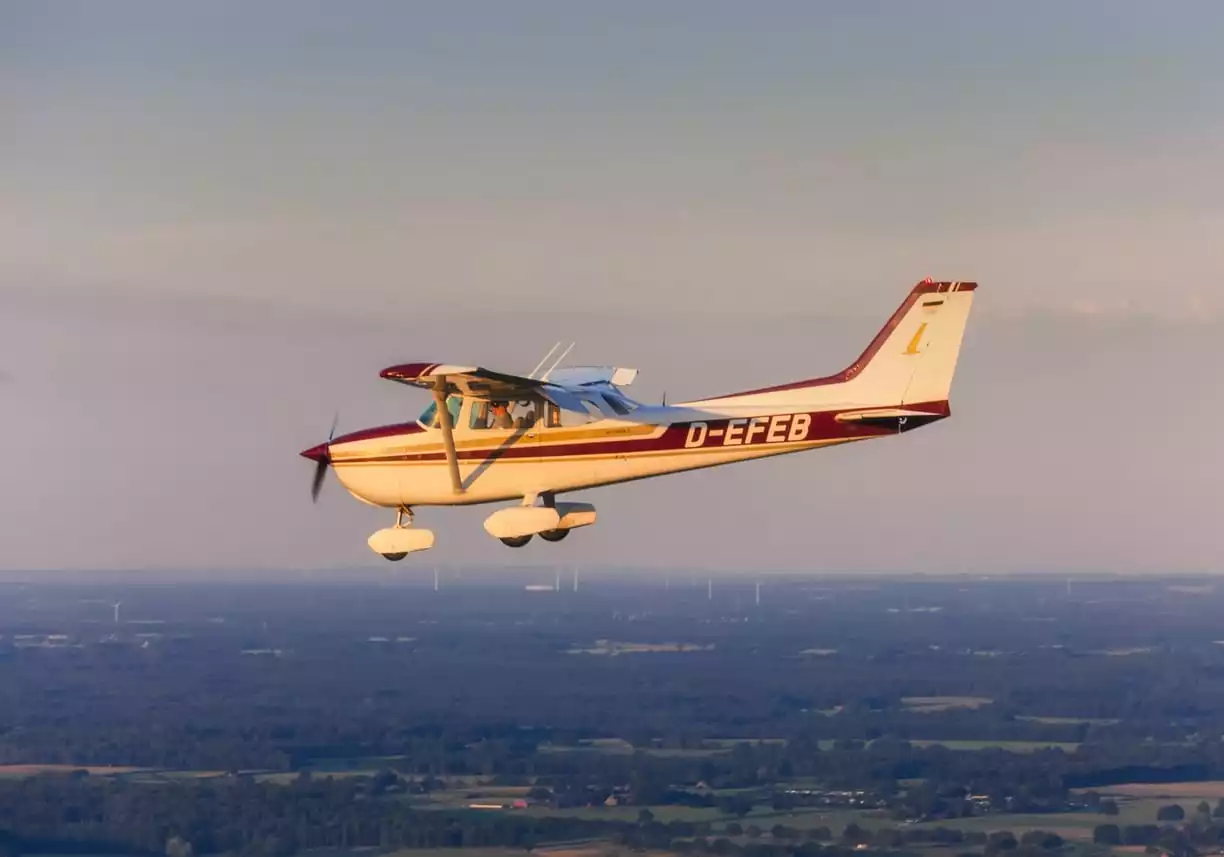
No matter what kind of aircraft you fly, an important aspect of safely getting off the ground and back down again is carefully navigating the correct course during the flight’s entirety.
Navaids
Items in the cockpit which help pilots navigate are called “navaids (opens in a new window).” They can be as complex as an aviation-specific GPS or as simple as a celestial navigator used by the earliest sailors and pilots.
The first pilots navigated by the use of “dead reckoning,” or simply looking beneath them for such landmarks as lakes, church steeples, and small towns. While this wasn’t necessarily safe, accurate, or the best use of a pilot’s attention, pilots were able to calculate distances by taking wind and airspeed into consideration.
As the technology surrounding aviation progressed, navigators became a vital component of crews, particularly in wartime, as the workload involved in accurately determining position at ever-increasing speeds was often too much for a pilot to handle while also commanding the aircraft.
Before you dismiss the effectiveness of simpler tools such as a magnetic compass or a celestial navigator, realize that astronauts on the Apollo missions, although flying with state of the art equipment, steered by the stars. And even the most technically advanced aircraft—those which attain supersonic speeds—can carry software based on headings determined by star fields.
As long as you properly understand and can use more archaic methods, they will serve you just as effectively as the most up to date tablet.
NDBs and VOR
Some student pilots are still trained in the use of NDB (opens in a new window)s, or non-direction beacons.
NDBs began to come into use in the 1930s, as aviation became a more widely used form of transport. Use of NDBs are based on radio transmitters which constantly emit signals at low frequencies. They are based at points on the ground, and an instrument on board the aircraft, the Automatic Direction Finder (ADF) (opens in a new window) receives the transmission.
By matching the frequency of the signal to the station’s heading, the pilot can set a course. Each NDB has a call sign admitted in Morse code; this helps the pilot or navigator discern its origin. While use of the NDB can be more cumbersome than a GPS, it is highly reliable.
In fact, helicopter pilots use them to navigate offshore platforms in the Gulf of Mexico.
Demonstrating effective use of VHF omni-directional radio range, or VOR, should be a must for every pilot. It is similar to use of NDBs in that it involves ground-based frequency transmissions, but it operates in a much higher frequency range.
Two signals are transmitted by VOR stations. One sweeps directionally, and the other is a reference signal which is emitted 360 degrees.
Because of this, VORs tend to be more accurate than NDBs. However, they can be limited to line-of-sight use, and electrical interference might occur as well.
Aeronautical Charts for Maintaining the Correct Course
Aeronautical charts, whether in their paper or digital form, are referenced even by longtime pilots, as they contain a wealth of knowledge.
Since the information contained within them changes on a regular basis, it’s important to ensure that your charts are the most recent version.
Charts tell pilots which class or type of airspace an airport is in, which areas contain temporary flight restrictions, and what landmarks on the ground to watch for to ensure a proper heading. They also list radio aids for navigation, such as which frequency to tune to for a VOR identifier, as well as information about what kind of terrain there might be on the correct course.
When a pilot is flying under instrument conditions, aeronautical charts are indispensable in the event of a loss of GPS or other electronics. They alert pilots to which airports have an Instrument Approach Procedure, how long the runway is, and what the facilities’ lighting capabilities are.
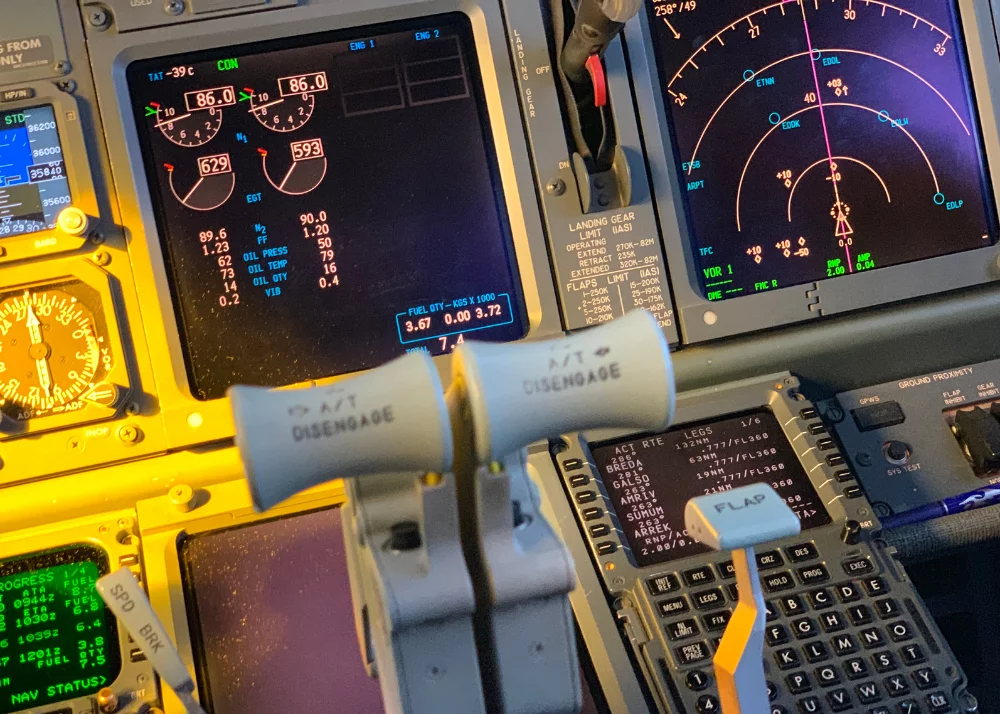
GPS
What enables a global positioning system (opens in a new window) to work more effectively than other navigational aids is that its use of satellites feeds pilots data about their location in third and fourth dimensional terms.
They can inform the crew on how far away they are from a destination, what the airspeed or groundspeed of an aircraft is, and where they are in relation to checkpoints. Tracking data frees the pilot from constant tuning to radio navaids, and it also provides an electronic course to follow.
While GPS is now in the hands of anyone with a smartphone or a mapping device, it was formerly only used with regularity by the military from the 1970s to the early 2000s.
At this point, the federal government permitted access to the satellite feeds, and consumer technology quickly began to catch up with what was finally possible. We have now reached the point at which a GPS is considered a standard cockpit element.
Fast and accurate as GPS is, inference in the atmosphere might result in errors. At times, human error in orbit calculations or input could occur, resulting in a GPS unit searching for the satellite without success. Finally, position errors manifest when the GPS signal bounces off of large buildings or large land forms.
Any of these errors, combined with the potential of electrical failure within the cockpit, can leave a pilot temporarily abandoned from the correct course. That’s why it’s important for student pilots to learn how to navigate in other ways.
New pilots should be aware that aviation GPS systems are different and more complex than those found in the dashboard of a car. Even experienced pilots working with a new GPS system should familiarize themselves with it before jumping into the left seat.
Ready to soar in your aviation career?
Mr. Matthew A. Johnston has over 23 years of experience serving various roles in education and is currently serving as the President of California Aeronautical University. He maintains memberships and is a supporting participant with several aviation promoting and advocacy associations including University Aviation Association (UAA), Regional Airline Association (RAA), AOPA, NBAA, and EAA with the Young Eagles program. He is proud of his collaboration with airlines, aviation businesses and individual aviation professionals who are working with him to develop California Aeronautical University as a leader in educating aviation professionals.