Weather briefings are of vital importance in aviation. No matter where you are starting or where you are headed, taking off without proper meteorological information is a gamble. These four steps will help you to understand aviation weather and PIREPS.
[lwptoc numeration=”none” title=”CONTENTS:” titleFontSize=”30px” itemsFontSize=”18px”]
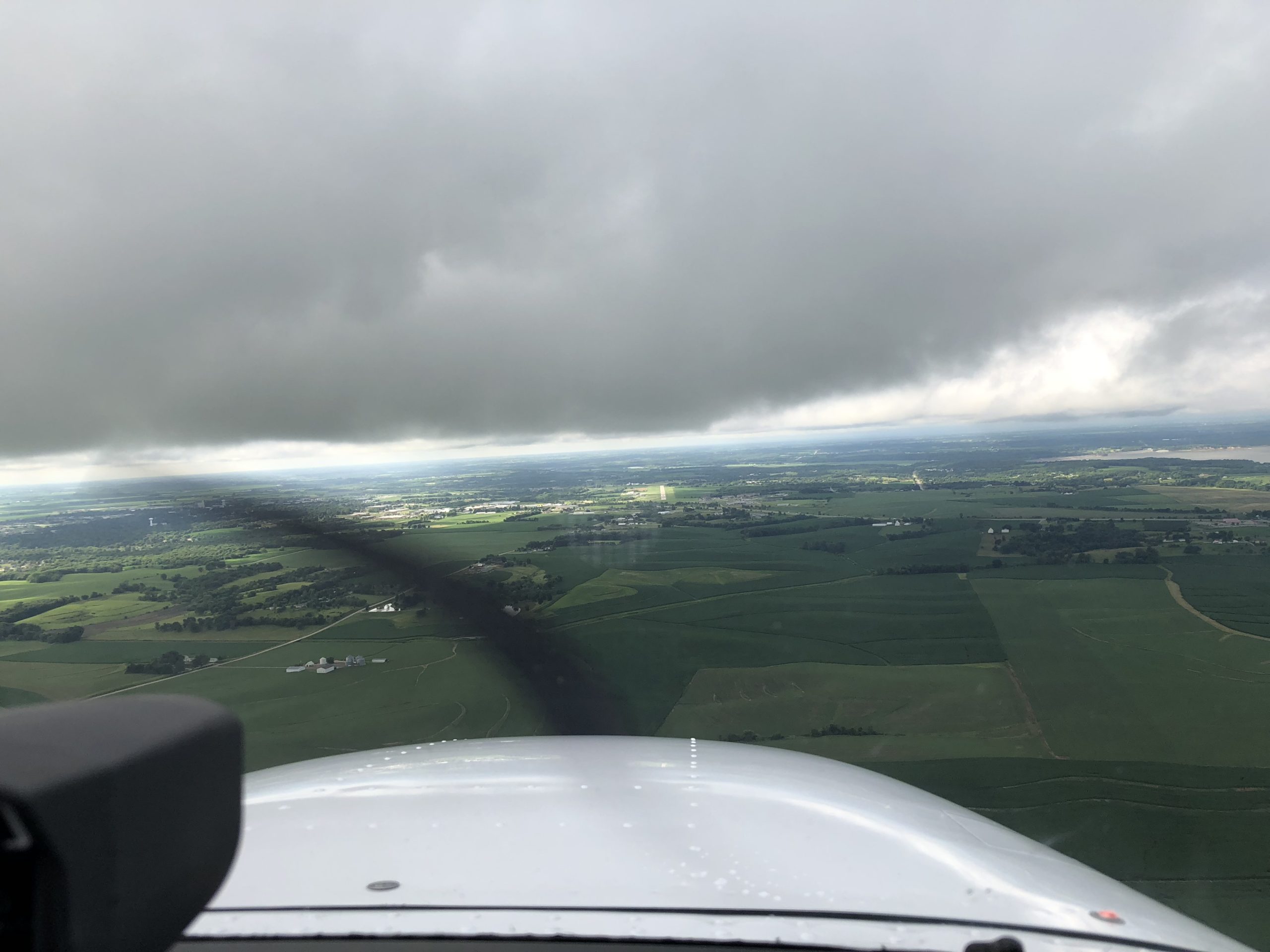
Inclement weather (opens in a new window) can strand pilots who are unable to fly IFR (Instrument Flight Rules) (opens in a new window) or, worse, contribute to an unsafe situation in the air. However, the bulk of aviation weather services (opens in a new window) consist of forecasts and warnings. It is best to know what is actually taking place in the sky in real time.
Pilots understand this and do their best to help one another by making frequent reports. No matter how advanced meteorology technology and radar becomes, nothing is more helpful than a human assessment of icing conditions, cloud cover (opens in a new window), and turbulence (opens in a new window). In the aviation community, pilots communicate this information to one another with PIREPs (Pilot Reports of Weather.)
How to Understand PIREPs and Aviation Weather
To maximize the usefulness of these reports, student pilots are wise to understand how to read PIREPs as best as possible. It should be remembered, however, that weather conditions can change rapidly, are dependent upon aircraft type, and open to personal interpretation. For example, what one pilot might consider light turbulence, another would rate as moderate. In addition, it should be noted that the aircraft type is included in all PIREPs. This should be attended to, as cloud cover for a stripped-down light aircraft presents a different scenario for an Airbus.
At the same time, longtime pilots with many hours in the cockpit often develop judgement that cannot be communicated via data such as wind shear, temperature, and barometric pressure. These might include volume of hail, look of clouds, and the smell of impending rain. Such observations are often confirmed by objective observations.
However, processing this data can make for a safer, smoother flight. These are all pieces of a full picture of aviation weather.
1) Find PIREPs
The National Weather Service and many aviation apps offer PIERPs. On a laptop, tablet, or desktop computer, the best way to locate is via the Aviation Weather Center (opens in a new window). This introduces users to a map of the entire United States and some portions of Canada and Mexico. Zooming in will help pilots focus on a particular geographic region. A wealth of information featuring map layers, including satellite view, radar, and jet routes, is available for viewing by toggling features and URL options. Some apps can be configured to show these automatically.
The Aviation Weather Center map will be covered with symbols, (opens in a new window) which become more easily identifiable as local areas are magnified. Since some of the most important PIREP information includes turbulence reports and icing conditions, these are noted along scales of severity.
For turbulence, ratings include NIL, smooth-light, light, light-moderate, moderate, moderate-severe, severe, and extreme. Colors range from blue and green (less severe) to red and purple (severe and extreme.)
Where ice is concerned, the same colors are used. Icing is rated as NIL, trace, trace-light, light, light-moderate, moderate, moderate-severe, and severe. As with turbulence charting, the colors progress from blue and green (less severe) to red and purple (severe.)
Wx (weather) models (opens in a new window) can seem the most mysterious. These consist of a cluster of numbers and symbols. They refer to the station model, visibility, ceiling, cloud cover, direction of winds, wind speed in knots, wind gusts, flight categories, and the current weather conditions.
2) Watch for Important Information
Once you have located the PIREP, aviators and flight dispatchers must know what to look for. Pilots can access two kinds of PIREPS.
The first are known as UA. These are “routine” weather reports and can include any information which is not considered immediately dangerous.
UUA PIREPS usually garner more attention. These refer to severe weather conditions which might require avoidance. They can include: hail, volcanic ash clouds, dust storms, waterspouts, severe turbulence, clear air turbulence, funnel clouds, low level windshear (winds which fluctuate between a window of ten knots or more), severe icing, tornadoes, or any other unusual weather phenomena.
As they represent actual, reported conditions and not just a forecast, the presence of a UUA PIREP should throw a red flag on a flight. It might not be necessary to cancel a flight, but a diversion must at the least be considered.
3) Read the Line
Learning to decode a PIREP can seem overwhelming. However, the more pilots practice with samples, the more comfortable they will feel with using PIREPS in flight planning. Here is an example of one:
BVU UA /OV BLD090015/TM 1627/FL140/TP B737/SK SKC/TB NEG/RM COR SA-ID. ZLA CWSU
Slashes separate layers, and sub-elements are kept apart by spaces. This refers to: (Station identifier), routine weather report, location, VOR (very high frequency omni-directional rage) identifier, time (in Zulu), altitude, aircraft type, sky conditions (clear), turbulence (negative or none), remarks, correction to the station ID by which air traffic control center, center weather service unit.
4) Make a PIREP of Your Own
Complete pilots know it is their responsibility to communicate weather data, even when conditions are calm. Even this information helps to fill in gaps or update other pilots who are preparing flight plans or might have to divert.
Call ATC (Air Traffic Control) and alerting the staff there to the latest particulars about observed weather is simply part of participating in a responsible aviation community. In the example above, the reporting pilot has indicated that there is little turbulence at 14,000 feet in this particular area. Why make the effort to report calm weather? All information is useful. Even “non-events” are events in aviation weather and meteorology. This report, for example, then helps another pilot or air traffic controller who might experience rough air at another altitude and is seeking a calmer route.
PIREPS are also valuable when the actual weather conflicts with a forecast. This gives pilots and controllers on the ground the valuable context that the weather is not “behaving” as predicted. This is also valuable for meteorologists who are making the forecasts. It helps them to refine current reports and forecasts, and this intelligence contributes to more accurate predictions for the future.
Ready to soar in your aviation career?
Mr. Matthew A. Johnston has over 23 years of experience serving various roles in education and is currently serving as the President of California Aeronautical University. He maintains memberships and is a supporting participant with several aviation promoting and advocacy associations including University Aviation Association (UAA), Regional Airline Association (RAA), AOPA, NBAA, and EAA with the Young Eagles program. He is proud of his collaboration with airlines, aviation businesses and individual aviation professionals who are working with him to develop California Aeronautical University as a leader in educating aviation professionals.